
01
Upload your 360 photos
Drop in 360° photos and bulk upload a whole site visit at once.
Built for the project team
Turn 360° photos, standard photos, and drawings into one clear visual record for architects, engineers, and contractors.
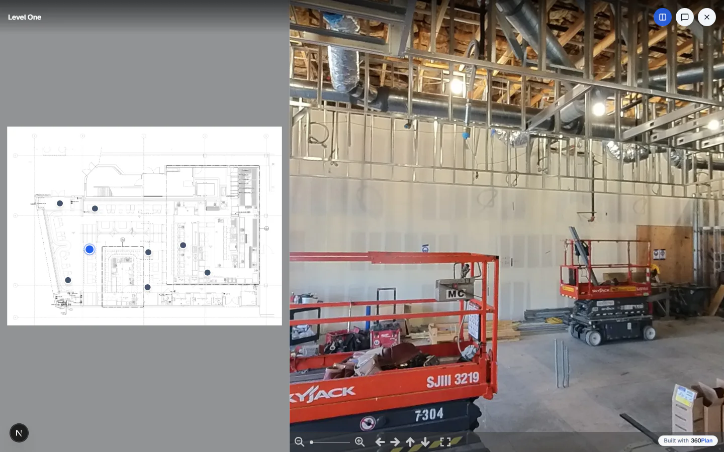
Floor plan and photo together
Navigate every viewpoint from the drawing
PDF JPG PNG
Floor plan imports
360° and standard
Site image support
Desktop and mobile
Site Capture access
A clear four step workflow
360Plan keeps each part of the process visual and direct so the project team can spend less time organizing files.
Drop in 360° photos and bulk upload a whole site visit at once.
Import several PDFs together and choose the sheets you need from each. Crop and rotate selected sheets together, or start with JPG and PNG plans.
Pin each photo where it was taken and align its viewing direction with the drawing. Move between the plan and image without losing your place.
Publish each Site Capture with its own link. Keep different visits or floor plan sets in one project, with separate access settings for each capture.
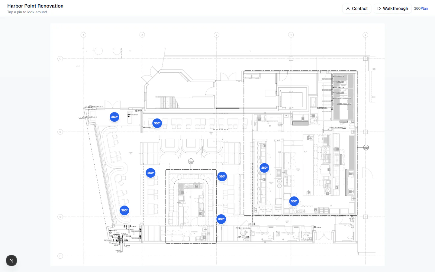
The floor plan stays at the center
Pins make every photo easy to locate and revisit
Purpose built for field documentation
A folder of photos shows what was captured. 360Plan also shows where it was captured and how each view relates to the rest of the site.
Keep panoramic views and detailed standard photos together on the same floor plan.
Import multiple PDFs, select sheets, and crop or rotate them together while preserving the originals.
Use split view, plan navigation, annotations, and ordered viewpoints to review conditions with less guesswork.
Send a link, QR code, or embed. Use separate passwords and expiry dates when Site Captures need tighter access.
Take a standard photo from a selected pin and save its viewing direction at the same time.
Export standard photos with a focused floor plan view, pin location, and viewing direction in one PDF.
Site Capture review with Pro and Pro Plus
Measure and mark up Site Capture floor plans for your own reference, or invite others to review the same site.
Calibrate the plan, then check length, perimeter, and area in feet or meters.
Add pen marks and text in your own review without changing the original plan.
Enable review tools for invited viewers and PDF export to share findings. Each person keeps a separate review.
Floor plans only. Measurements are approximate. Verify on site.
Find your planBuilt for the people documenting the work
Connect site conditions to the drawing your team already understands.
Review visible systems and surrounding context without sorting through disconnected folders.
Share progress and existing conditions with a fast visual record of the work area.
Works wherever the project takes you
360Plan adapts the floor plan and viewer to the available screen. Install it on Android or iOS, or open the same Site Capture in a desktop browser.
Explore the product guide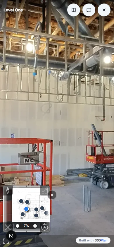
Common questions
360Plan supports 360 photos and standard JPG, PNG, and WebP photos. Pro Plus also supports DNG standard photos. Floor plans can be imported from PDF, JPG, and PNG files.
Yes. Import several PDFs at once, choose pages from each document, and crop or rotate selected sheets together.
The floor plan is the primary navigation tool. Viewers select a pin to open its 360 photo or standard photos, then switch floor plans within that Site Capture.
Pro and Pro Plus include measurements, pen marks, and text on Site Capture floor plans. Use them yourself or enable review tools for invited viewers. Reviews are separate, not a shared live canvas. PDF export can be enabled to share findings. Measurements are approximate and should be verified on site. Photos are not measured.
Create your account and organize up to three projects. Choose a plan when you are ready to upload and publish your first Site Capture.